As we gear up for the weekend, the joy of St. Patrick’s Day celebrations in Baltimore might be overshadowed by some serious weather ahead. The National Weather Service is predicting intense storms to sweep through the Baltimore and Washington, D.C. area this Sunday, potentially bringing heavy rain, powerful winds, and even the possibility of tornadoes. With festivities planned, residents should remain vigilant and prepare accordingly for the inclement weather.
Stormy Weather on the Horizon
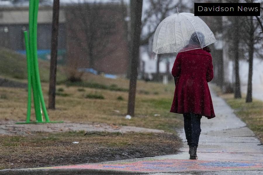
This weekend marks a significant shift in weather patterns as a sprawling storm system transitions across the region. Forecasts indicate that the storm could be severe, with the primary threats being strong winds that may reach gusts of 58 mph and heavy downpours. Temperatures will fluctuate between 51 and 69 degrees, making Sunday feel quite a bit warmer than the preceding days. As the storms from the southern U.S. push northward, they carry with them a mixture of threats that could disrupt planned events.
Celebrations at Risk
Sunday’s anticipated high winds and rain forecast come at a challenging time, coinciding with Baltimore’s St. Patrick’s Day celebrations. Festivities including a Shamrock 5K run scheduled for 1 p.m. and the much-anticipated parade at 2 p.m. may be impacted. The likelihood of severe weather could lead organizers to alter plans or even postpone activities for safety reasons. With every storm cloud, there is a silver lining, but it seems that enjoyment under the festive banners may be dampened.
How to Prepare for the Storms
With the prospect of high winds and rain looming, residents are encouraged to prepare for the possibility of power outages and flooding. Baltimore Gas and Electric Co. is already advising people to be proactive and ready for interruptions in electricity supply. Smart suggestions include securing outdoor objects that could become projectiles in high winds, checking emergency supplies like flashlights and batteries, and staying tuned to weather updates. Additionally, local authorities suggest avoiding unnecessary travel during the storm.
Staying Safe During Severe Weather
As the storm approaches, safety should be everyone’s top priority. Here are a few important tips to keep in mind:
- Monitor local news and weather stations for the latest updates.
- In the event of severe lightning, it is advised you stay indoors and wait at least 30 minutes after the last strike before going outside.
- If a tornado warning is issued, seek shelter in a basement or the most interior room of your home.
- After the storm, avoid flooded roads and steer clear of downed power lines, which can be dangerous.
- Consider using surge protectors for electronic devices to shield them from potential power surges.
What’s Next: Sunday’s Forecast
Looking ahead to Sunday, the chance of precipitation is expected to jump from 40% in the morning to as high as 90% by the afternoon. Multiple storms are anticipated, with heavy rain that could lead to flooding in various areas of the city. Residents should stay alert and have a plan in place for possible evacuations if local authorities deem it necessary. The potential for rainfall could result in totals ranging from 0.5 to 2 inches in some parts of the Baltimore area, which can exacerbate the risk of flooding.
Key Points to Remember
As we embrace the spirit of St. Patrick’s Day, let’s not forget the importance of being prepared for the weather ahead. Here are some crucial reminders:
- The storm is expected to bring high winds, heavy rain, and possibly tornadoes.
- St. Patrick’s Day celebrations may face interruptions due to severe weather.
- Preparation for power outages is essential.
- Monitor weather updates closely as the situation evolves.
In summary, while the festivities may be clouded by the threatening weather, staying informed and prepared can help ensure safety for everyone in the Baltimore area.