As hurricane season approaches, the National Hurricane Center (NHC) has announced that it will introduce changes to its hurricane forecast cone in 2025. This cone is a vital tool that helps people understand where hurricanes might go, but this year, it’s getting a little smaller! The NHC’s decision is based on improved accuracy in their predictions, making it easier for everyone to understand what to expect during the stormy months ahead.
Why Is the Forecast Cone Changing?
The primary reason for the change in the hurricane forecast cone is due to advancements in forecasting technology. These improvements have led to a significant reduction in the cone’s size; specifically, the forecast cone will shrink by about 3-5% in the Atlantic Ocean and by 5-10% in the eastern Pacific. This means that when a storm is predicted, the area where it could go will be smaller than in past years, allowing for more precise forecasts.
What Do the New Sizes Mean?
When discussing the size of the forecast cone, it helps to know the numbers. For instance, at a 24-hour mark before a storm is expected to hit, the cone will measure about 45 miles wide. That may sound like a lot, but it’s a lot better than before! If we look further ahead, 120 hours out, the cone will be around 245 miles wide. This means that while the focus is sharper, there is still room for uncertainty as hurricanes can deviate from their predicted paths. In fact, they can stray from the cone as much as one-third of the time!
Understanding the Limitations
While the new, smaller forecast cone is a step forward, the NHC warns that it doesn’t show the full story of what a hurricane can do. Hurricanes can produce powerful winds, heavy rainfall, and dangerous storm surges that can extend beyond the cone’s borders. It’s essential for families to be aware of these impacts and not to become overly focused on the cone alone. Sometimes, this even leads to what experts call the “cry wolf” effect, where people may think they are safe when storms could still pose significant risks, especially if the storm takes a surprising turn.
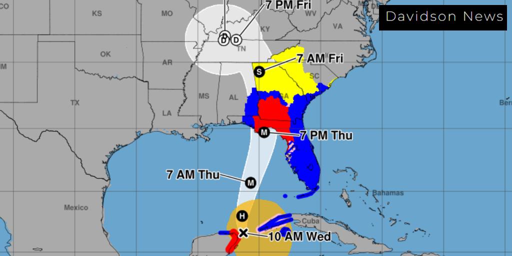
New Inland Watch and Warnings
To help with understanding these risks better, the NHC will introduce new inland watches and warnings in 2025. These alerts will offer crucial information to people who live far from coastlines but still face dangers from hurricanes. The idea is to keep everyone informed, no matter where they are, since severe weather can affect many areas.
Mark Your Calendar for Hurricane Season
The 2025 hurricane season officially begins on June 1st, and there are already talks about how to improve preparedness this year. With the focus on earlier alerts for potential tropical cyclones, families will have more time to get ready and stay safe. Experts believe that being prepared means knowing when a storm is brewing and how to take the right steps when it comes.
Fun Fact: Hurricane Names for 2025
The NHC also has a list of names ready for 2025! Every year, hurricanes are given memorable names, and you can learn all about them. Here’s a sneak peek of what to look forward to:
| Storm Number | Name | Type |
|---|---|---|
| 1 | Arlene | Tropical Storm |
| 2 | Bear | Hurricane |
| 3 | Clara | Tropical Storm |
| 4 | Daniel | Hurricane |
| 5 | Elsie | Tropical Storm |
This list will be updated as the season progresses, but it’s always exciting to know what names might come next for the storms we’ll hear about in the news!
The Importance of Being Prepared
As the storm season approaches, remember that being informed is the first step to staying safe. Families are encouraged to have an emergency plan and supplies ready at home. By understanding the forecast cone changes and what they mean, everyone can be better prepared when a hurricane strikes. So mark the calendar, stay tuned for updates, and let’s hope for a safe hurricane season ahead!