An Excessive Heat Watch is in effect for most of New Jersey from 10 a.m. Tuesday through 8 p.m. Saturday. Additionally, a Heat Advisory will be in place from noon to 8 p.m. Wednesday for northeastern New Jersey and the lower Hudson Valley.
Temperatures Soar as Heat Wave Arrives
The pleasant temperatures experienced over the weekend will soon be a distant memory as the first heat wave of the season descends upon the region. Sunday night will see lows in the mid-60s in the city, with some suburbs dipping into the 50s. However, starting Monday, temperatures will begin to rise significantly, with highs reaching the mid to upper 80s.
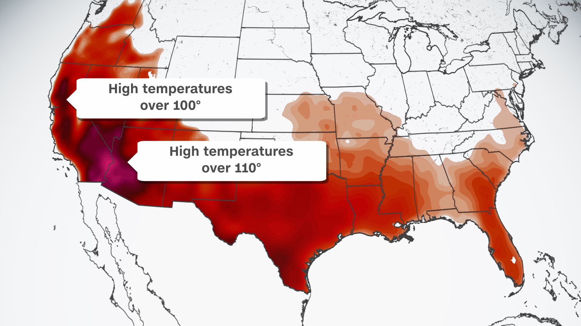
By Tuesday, a substantial heat dome will establish itself over the eastern half of the United States, bringing with it several days of intense heat. This setup is expected to persist throughout the week, leading to sustained high temperatures.
Record Highs and Dangerous Conditions Expected
This anticipated heat wave is notably early, particularly given that the first heat wave last year didn’t occur until September. It is also expected to be the most intense stretch of heat since July 2022. High temperatures will steadily climb, with the peak likely occurring on Thursday and Friday. During these days, highs are forecasted to range between 95 and 100 degrees, potentially setting new daily record highs. Heat indices, factoring in elevated humidity levels, will make it feel even hotter, ranging from 100 to 105 degrees.
Unfortunately, the likelihood of thunderstorms providing any relief is minimal this week. Furthermore, overnight lows are expected to remain stubbornly high, only dipping into the mid to upper 70s. This could lead to record-high minimum temperatures and pose a significant risk, particularly for individuals without air conditioning. A respite from the heat may arrive by late next weekend.
Detailed Forecast for the Week Ahead
Monday: Expect mostly sunny skies with some afternoon clouds. It will be much warmer and more humid, with highs in the mid to upper 80s.
Tuesday: Skies will be partly cloudy with a stray shower or storm possibly northwest of the city. It will be humid, with highs in the low 90s.
Wednesday: The day will be mostly sunny and hot, with highs in the low to mid-90s.
Thursday: Conditions will be mostly sunny, very hot, and humid, with highs in the mid to upper 90s. The heat index will make it feel like 95 to 105 degrees.
Friday: The stifling heat and high humidity will continue, with highs in the mid to upper 90s. Interior New Jersey may even see temperatures reach 100 degrees, with heat indices feeling like 100 to 105 degrees.

Residents are advised to take necessary precautions to stay cool and hydrated, avoid strenuous outdoor activities during peak heat hours, and check on vulnerable populations such as the elderly and those without air conditioning.